|
| Click on the image above for our track in Google Maps |
Another truncated track that I have to apologize for (Logger stopped recording 3/4th into the loop). However, this time, I know precisely why that happened: I ran out of flash space on the device.
That one's entirely on me. I had been wondering about removing old logs before setting out, but decided against it thinking that I still had more than enough capacity. Turns out, that wasn't the case.
Oh well, this is not a difficult hike, since we've been looking for something relatively easy and straightforward for a change, so you should be able to complete the circuit on your own, should you ever be tempted to follow my lead. Basically, you just need to head to the north-eastern tip of the large lake you see on the map above, then follow the farm track back to the hiking path, which, though the quarry, will bring you back to your starting point.
 |
| Maghery Strand as we start our walk |
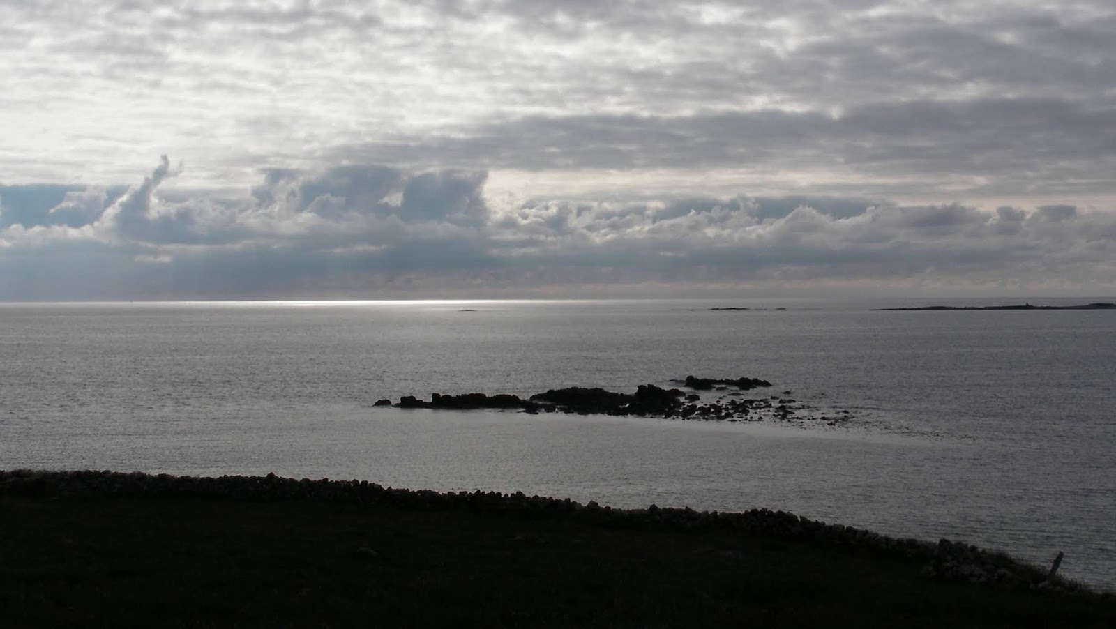
Now the weather may not be as bright and sunny as last week's, but it's not that bad at all for a hike especially as the temperature crossed below the 20°C's again, which makes it prefect for striding along. It is also not as overcast as the photos might lead you to think, since I believe I also misconfigured the ISO settings on my camera, with the end result that most of the pictures look much darker than it actually was.
Didn't really have a well planned destination in mind today, so, at the last minute, I decided that going towards Dungloe, and then some more, towards Maghery and Crohy Head, is where our fun would be had. Of course we've driven down this picturesque road a few times before, but this is our very first time hiking around this place.
 |
| The ruins from the Red House... which doesn't seem that red from this angle |
After parking near Maghery Strand, were a few families seem to be enjoying their afternoon on the beach, we follow the coastal road towards the south for a straightforward walk of discovery around the beaten path. Already, the ruins of the Red House (above), as well as old Crohy Tower (below), are setting a decisive air of historical mystery upon our chosen path...
 |
| Spooky... I wonder if anybody ever tried to trick-or-treat the ghosts of Crohy Tower on Halloween |
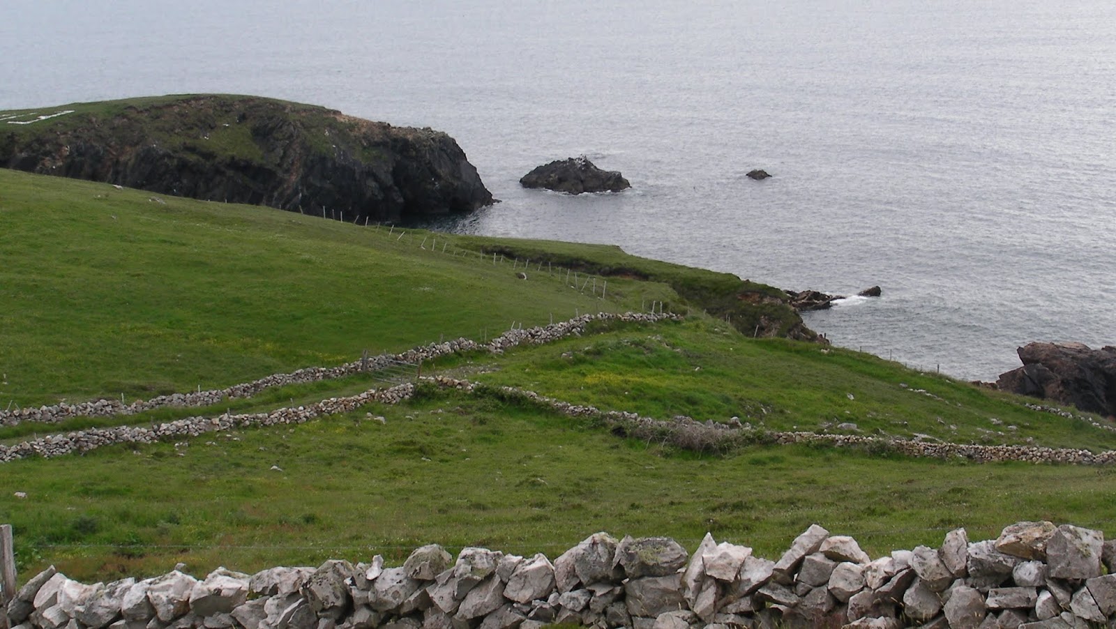
Of course, we make a small detour to visit the tower, which does seems to have seen better days. Yet, considering the views from this promontory point, which encompass the whole sway of coast that extends between Glencollumbkille and Ardara, we definitely see why you'd want to build a signal tower here.
 |
| Somewhere behind this rocky tip, lies Port, one of the most isolated point you may reach by road in Ireland |
Coming back from the tower, and further down the road, we also can't fail to notice the large "74 EIRE" sign (that curiously doesn't seem to be visible on satellite images - Is this new?) which I'll leave up to you to interpret the meaning of...
 |
| In this day and age, who still uses primitive stones to convey a message? |
No more than few hundred metres from our sign, we also come across yet another fine example of a sea arch. Having the advantage of not being bound to a petrol-fuelled vehicle today, we do take this opportunity to get as close as we can get to this natural stone monument, by venturing onto the edge of the coastal cliff. It does pay to go around this small peninsula on foot.
 |
| Is it me, or does County Donegal appear to have have an unusually large amount of sea arches? |
Yet, outside of trying to venture a bit too close to the coast and some of its minor precipitous drops, this is not a strenuous walk at all and we are soon passing across the many bungalows and farm houses of Crohy village, standing as peaceful and tranquil as an Irish coastal village can be on a Sunday afternoon. There isn't much life to greet us there, apart from a few barking dogs as well as some sheep, that looks like it managed to run away before the farmer was done shaving its woollen coat.
 |
| Woollen shorts are soooo in fashion this summer! |
Then, after yet another bend, we finally get to uncover the lush valleys and hills that surround Glenties and Ardara, even as they are partially lit by a capricious sun.
 |
| The highs of Glenties/Ardara |
Given that the place where we stopped is also a dedicated viewpoint for motorists, there exists a large concrete slab there, intended to serve as a picnic table. Of course we are going to put it to good use by applying it as an impromptu tripod for a few zoomed shots of the tantalizing cliff faces, on the other side of the bay. We have to go for a walk here, some day...
 |
| The rugged coastline on the other side of Gweebarra Bay |
And now it is time to leave the road.
Even as we said we wanted to take it easy for a change, this is a bit too easy a walk for our taste, and we can't help but find ourselves wanting for that little extra bit of challenge. Plus, since we are officially on an exploratory expedition, we don't want to follow a welcoming but boring tarmac for ever. Instead, we feel compelled to go see what we find, amidst the wilderness that calls us beyond the road...
Discounting some wild birds that start crying in distress in order to alert their kind about the prospect of an adventurer crossing into their territory, the inside of the peninsula is even more peaceful than the road, if that's even possible. We are also satisfied to find that, with the absence of rain from the past few weeks, the progression is as easy as can get. It isn't long, then, before we find ourselves on the shores of a lake.
This is no surprise - The Dungloe region is literally home to thousands of small lakes, leftovers from the relentless grinding of hundred-metres high glaciers that used to cover this region, before eventually receding, thousands of years ago. As such, you'll barely be able to walk more than a few hundred metres in any direction across these lands, before coming face to face with yet another body of water.
 |
| Lough Nameenagh |
But let's put a name to these lakes. That first one we've just encountered is Lough Nameenagh. But that barely counts as a "name enough". Thus, shortly after that, we come across Lough Nafalla, covered with what appears to be high bulrush.
 |
| Lough Nafalla |
Yet, how could we "not follow" Nafalla with one more: Lough Atallan.
 |
| Lough Atallan |
Atallan is hardly "at (it) alone" though. From this vantage point, we are also getting clear views of the shores of Lough Aghnish, the largest of them all.
But I suppose all these bad puns on these lake names are beginning to put you into some semblance of agony, or "agony-ish" if you will, so I guess I'm just going to stop there and not try rub any more "Salt" in it (which, yes you have guessed, is the name another close-by lake, which we didn't get to visit)...
 |
| Lough Aghnish |
Considering the string of lakes we are passing by, you may also be starting to wonder if, possibly, we might have picked the spot we started to cross inland on the map, so as to ensure that we'd come across as many of these as possible. But it's not like I would ever make you believe, on this reputable blog, that something that happened at random was in fact carefully planned, or that some other thing, that I presented as if it was meticulously planned, actually happened completely at random, so as to make this casual blogger look better... Everything you read here is 100% true, I swear!
Or, is it...?
Anyway, from the shores of Lough Atallan, which is the location were our GPS gave up on tracking our progress, it's an easy way down towards Aghnish and then back to the official and well signalled hiking trail that skirts it, even as the Glasgow flight (I think), that just departed from the picturesque Donegal Airport, not that far off, decides to make its navigational turn right over our head.
 |
| Do yourself a favour, and land at Donegal Airport - It is after all one of the most scenic airports in the world! |
Now that we have rejoined the hiking trail, on which we'll spend the end of our walk completely alone, it's smooth sailing back to the car. One last glance at Aran Island, standing tantalizing proud in the distance, and we can call it a day.
 |
| Ah to be a cow, and spend one's days enjoying the view of Aran Island and Dungloe Bay |
Suggested Sound Track
The place is definitely a bit too quiet, so we'll contrast this with something that also looks quiet on the surface, but packs an insidious punch coupled with some threatening undertones. Hence:
Additional Pictures